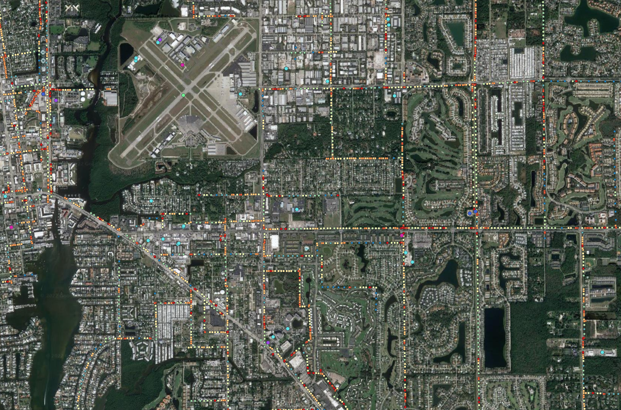
Goal: Safe Efficient Flights
An industry that is relatively green when it comes the end user utilizing GIS Data is the UAS/Drone sphere. Many of the end applications of commercial drone work ties back to the GIS world in one way or another but rarely are the pilots themselves able to leverage the power of GIS Data. Whether it’s being aware of the surroundings or figuring out good locations for take off and landings. The data exists and we want to provide the application to be able to deliver this to pilots in the United States.


